
Weather Brussels Airport · EBBR · BRU
Weather at Brussels Airport today and tomorrow, in plain English
Live weather for Brussels Airport (EBBR, BRU), read from the airport's own reports. The passenger view says in plain words whether it is raining, how windy and cloudy it is and how far you can see, with one green, amber or red line for flying conditions. Pilots will find the decoded METAR and TAF below it, followed by a rain map.
The live weather for Brussels Airport appears here as soon as the data has loaded. If it does not appear, your browser may be blocking scripts: call +44 20 7781 8094 and we will tell you the latest picture.
The live weather needs JavaScript. Call +44 20 7781 8094 for the latest weather at Brussels Airport.
Pilot's view
Brussels Airport METAR and TAF, decoded line by line
The latest METAR and TAF for EBBR in their original code, each group decoded underneath, with the flight category and the headwind and crosswind on runways 07L/25R, 07R/25L and 01/19 worked out from the reported wind.
The decoded METAR and TAF for EBBR appear here when the live data has loaded. If they do not appear, call +44 20 7781 8094 for the latest report.
Rain map
Rain around Brussels Airport on the satellite map
Recent rain over Brussels, Flanders and central Belgium, drawn on our satellite map with rings at 25, 50 and 100 nautical miles from the airport. Press play to run the last 75 minutes.
The rain map for Brussels Airport appears here when the live data has loaded. If it does not appear, the rain forecast is in the passenger view at the top of the page when that has loaded, or call +44 20 7781 8094.
Weather data from MET Norway and EUMETSAT H SAF (CC BY 4.0). General information only, not for flight planning.
Wind, cloud and rain
Wind, cloud and rain map for Brussels Airport
A moving forecast map of Brussels, Flanders and central Belgium, centred on Brussels Airport. Use the controls on the map to switch between wind, rain, clouds and gusts, and to step forward through the next few days. Wind is shown in knots.
Forecast map by Windy. General information only, not for flight planning. If the map does not load, open this position on windy.com.
How to read this page
How to read the Brussels Airport weather page
The same official data drives all three parts. The passenger view puts it in plain words, the pilot's view shows the original code, and the map shows where the rain is.
Green, amber and red flying conditions
Green means good visibility, no low cloud and no strong wind. Amber means weather to watch: cloud below 1,000 ft, visibility under about 5 km, snow, fog, hail, heavy rain, a thunderstorm nearby, wind of 28 knots or more, or a crosswind of about 20 knots on the runway. Red means cloud below 500 ft, visibility under 1,600 metres, thunderstorms, freezing rain, heavy snow or wind of 41 knots or more. Grey means the airport report is incomplete, and we do not guess. In the hour strip a ring round a dot means worse conditions at times, and a dotted ring a 30 or 40 per cent chance of them. It is a guide, not an operating limit: the captain decides.
METAR and TAF in the pilot's view
A METAR is the airport's own weather report, normally issued every half hour. A TAF is the airport's forecast, reissued several times a day. We show both in their original code and decode every group. Wind directions are in degrees true, cloud heights are in feet above the airport and times are in UTC, marked Z. AUTO means the report was made by instruments with no human observer. A change marked TEMPO is temporary, and PROB gives its percentage chance. Where a value was not reported we say so and give no flight category. A cancelled forecast is shown as cancelled. The age of each report is shown beside it.
What the rain map shows
The tint shows how hard it is raining: blue for light rain, violet for steadier rain and bright pink for heavy rain. It is estimated from weather satellites and refreshed every 15 minutes. The picture runs about 30 to 45 minutes behind real time and it is not ground radar, so a very light or very local shower may not appear. Press play to run the last 75 minutes. If the rain layer cannot be loaded, the bar under the map says so, so an empty map is never taken for a dry one. Use the plus and minus buttons to zoom in on a shower or out to the whole region. The gold rings are 25, 50 and 100 nautical miles from the airport, and north is at the top.
Local knowledge
Typical weather at Brussels Airport through the year
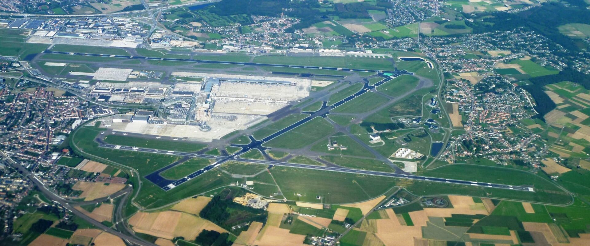
Brussels Airport is at Zaventem, about 12 km north-east of Brussels, 175 ft above sea level. These points come from the official aeronautical notes for the airport, published for Belgium.
Fog and low visibility at Brussels Airport
Runways 25L and 25R are approved for landings in very low visibility, down to a runway visibility of 50 metres. Runway 01 needs at least 550 metres. Low visibility procedures begin when runway visibility falls below 800 metres or the cloud ceiling is below 200 ft.
Wind and runway choice at Brussels Airport
Runway choice follows the wind. The preferred runways are given up when the tailwind passes 7 knots or the crosswind passes 20 knots, gusts included, or when wind shear or thunderstorms are reported or forecast.
Snow and ice at Brussels Airport
The airport lists about 40 snow-clearing vehicles for winter. De-icing is available 24 hours by arrangement with the handler, and the state of the runways is reported to crews as conditions change.
Questions
Brussels Airport weather: your questions answered
What is the weather at Brussels Airport today?
Where does the Brussels Airport weather on this page come from?
What do METAR and TAF mean?
What do green, amber and red mean on this page?
Will bad weather at Brussels Airport stop my flight?
Is the rain map on this page a live radar?
Fly from Brussels Airport
Flights Charter-A arranges at Brussels Airport
Charter-A is a charter broker. We arrange private jet, air taxi and helicopter flights to and from Brussels Airport, and the crew check this same weather before every flight. Passengers arrive about 30 minutes before a jet or air taxi departure, and about 10 minutes before a helicopter.
Planning a flight from Brussels Airport?
Tell us the route, the date and how many are travelling. We send clear options at one inclusive price, and we watch the weather for you on the day.
If the flight is cancelled because of the weather, you pay nothing.